
The most useful thing an ice cream trail can do is get you out into the city.
The least useful thing it can do is pretend that a set of map pins already knows how your day will go.
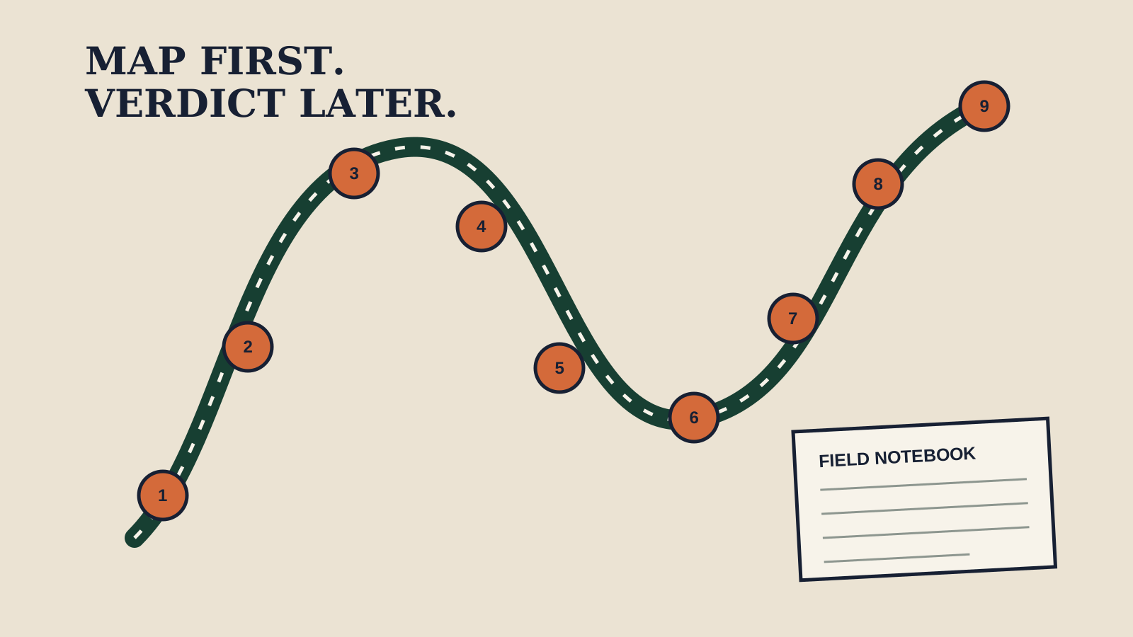
Our Fort Collins trail currently draws from nine canonical shop records, places them on a map, orders them from south to north by latitude, and gives the reader a private checklist. That makes it a practical scouting tool. It does not make the route optimized, the shops equally current, the stops walkable, the hours open, the products available, or any one business “best.”
That distinction is the whole guide.
Start with the job of the page
The trail has one honest reader job: help you see the spread of the directory and keep track of the places you choose to investigate.
It is not the Scoop 40 standings. Rankings use a separate editorial contract and should publish their criteria before their verdicts. It is not a tasting guide. A marker on a map cannot taste a product. It is not a live logistics service. Coordinates do not know about road work, a full parking lot, a changed entrance, a private event, or a handwritten hours sign.
Those limits do not make the trail weak. They make it legible.
Open the interactive trail and you can see nine locations from the current canonical directory. The page sorts them by latitude so the list reads roughly south to north. Tap a stop after you visit and the browser stores that check on your own device. Nothing about that action changes a public score or sends a vote into a ranking.
That is a good boundary: your checklist is yours; the editorial ledger needs evidence.
Choose a route size before a route order
Nine stops are too many for most ordinary outings, especially if the point is to notice anything.
Begin by choosing the size of the field day:
One stop: verify one thing
Use a single stop when you are checking a specific practical question. Is the entrance where the map suggests? Is there a place to sit? Does the posted menu match the current source record? What should another reader verify before leaving home?
One well-observed stop creates more useful service information than nine rushed checkmarks.
Two or three stops: compare one dimension
A short cluster works when you have one comparison question and can use the same method at each place. That might be the clarity of posted information, the ease of ordering, the presence of a specific documented option, or the way the room handles a line.
Write the question down before you go. Otherwise the last stop, the largest serving, or the most photogenic room can quietly become the winner without a fair comparison.
A full-directory scout: collect logistics, not verdicts
A nine-stop day should be treated as reconnaissance. Record travel time, access, parking or bike-rack conditions, posted hours, and the questions that need follow-up. Do not pretend the ninth tasting can be judged on the same terms as the first.
The output of a full scout is a better reporting plan.
Read every seeded tip as a placeholder
The current trail page is unusually blunt about its unfinished field guidance. Its stop notes are seeded from directory features and tell the editor to replace them after reporting. The page also labels its overall order as a south-to-north route based on seeded map coordinates.
That language is there for a reason.
A feature listed in a business record can identify a question. It cannot support an “insider tip.” A location can suggest a route. It cannot support a claim about travel time. A last-verified date can show the age of a record. It cannot guarantee that nothing changed this morning.
Before acting on a practical detail, check the responsible source:
- Use the business’s current channel for hours and availability.
- Ask the business directly about dietary protocols and cross-contact.
- Use a live map for the trip you are actually taking.
- Treat accessibility, entrance, and seating notes as dated observations.
- Treat prices as dated receipts, not permanent facts.
The trail can organize those checks. It should not impersonate them.
Keep four notebooks separate
A professional local guide becomes clearer when it keeps different kinds of evidence in different lanes.
Directory notebook: name, location, coordinates, contact route, and the date the record was checked.
Field notebook: what the reporter directly observed, with date, time, and conditions.
Source notebook: what an operator, public record, menu, or other named source states.
Verdict notebook: the criteria, comparisons, and accountable judgment behind a recommendation or ranking.
Mix those notebooks and the prose becomes falsely confident. Keep them separate and the reader can see why a sentence is allowed to exist.
This is especially important for food coverage. “The menu lists” is different from “we tasted.” “The operator says” is different from “the protocol prevents cross-contact.” “The map shows” is different from “the route takes twenty minutes.” Each phrase carries a different burden.
A better trail report
If you use the trail as a reporting tool, capture the details that can improve the next version:
- Date and time. Conditions change across a week and season.
- Arrival mode. Walking, biking, transit, and driving reveal different friction.
- Publicly visible information. Note what a first-time customer can understand without asking.
- Questions, not assumptions. Write down what needs operator confirmation.
- Rights. Do not photograph identifiable people, private material, or branded interiors for publication without the necessary permission.
- Corrections. If the canonical record is wrong, send the exact fact and source through the correction path instead of burying it in a travel note.
The goal is not to complete the most circles. The goal is to return with information another reader can trust.
What the trail does not yet promise
This article does not give current hours, live availability, parking guarantees, accessibility conclusions, walking times, or a best stop. It does not claim that the latitude sort is the shortest route. It does not turn the directory into a recommendation.
Those are not omissions to hide. They are assignments.
The next strong version of the Fort Collins trail should come from a real route audit: current map measurements, dated field logistics, clear clusters for different outing lengths, and specific check-before-you-go notes. The long-form guide that used to occupy this slot is held until that work exists.
For now, the interactive trail is a map and a notebook. Use it to choose the next question, then let the evidence—not the pin—write the answer.
Source note: This service piece is bounded to the canonical shop directory, the Scoop 40 ranking contract, and the current interactive-trail implementation. Their source fingerprints and the claims this article does not make are recorded in the repository’s built-here-2026-07-22 editorial source snapshot.
The Weekly Scoop
Get Fort Collins ice cream news, new flavor alerts, and seasonal guides delivered to your inbox.
Weekly · Free · Unsubscribe anytime